
|
Superficial Beauty Conquering Urban Substance
18/07/2017
barrysays
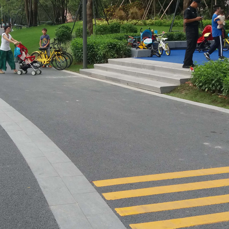
How do we define quality in urban design? It’s a difficult one to measure, due to the vast range of inputs influencing the urban realm, ranging from physical geography, through social science, and an appreciation for those disciplines involving cultural stewardship, urban economics, political economy, environmental impact and social theory. Whilst we do want to make attractive urban places, much of what is created in our cities frequently fails to consider urban design functions, and does not adequately meet the needs and expectations of the majority of users. Urban space decision making being carried out in China in particular, has for a long time been predominantly based the aesthetic and ephemeral over and above the efficient and effective.
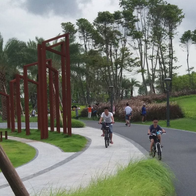
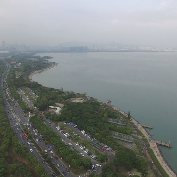
GREAT EXPECTATIONS
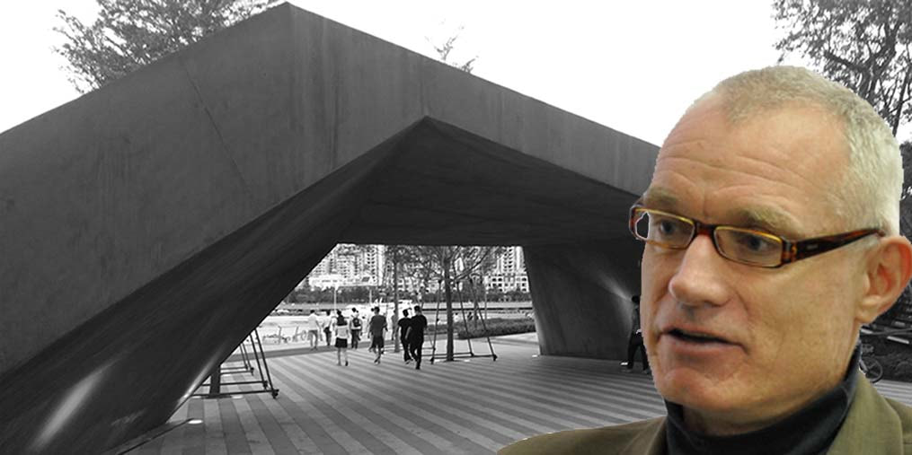
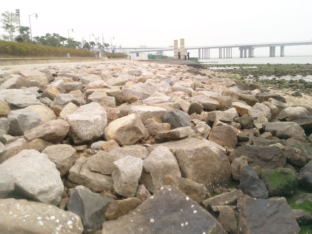
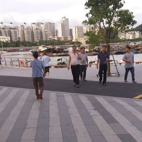
THE REALITY
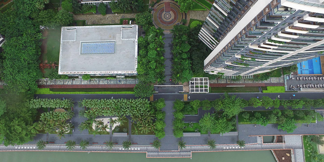
Image: BWPI
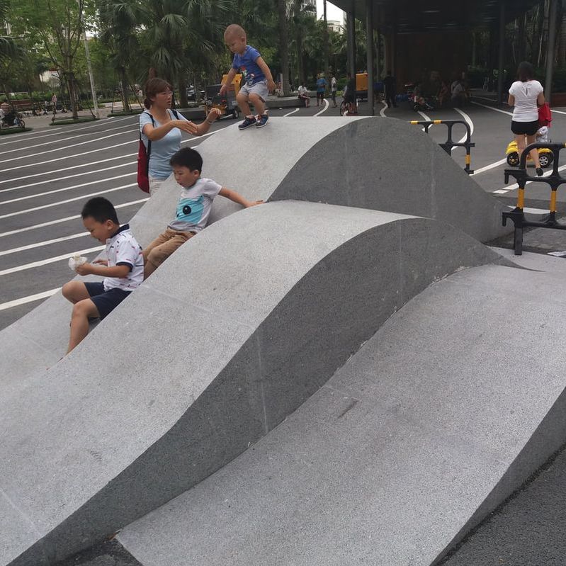
PRETTY DRAWINGS
"Whether it be the sweeping eagle in his flight, or the open apple-blossom, the toiling work-horse, the blithe swan, the branching oak, the winding stream at its base, the drifting clouds, over all the coursing sun, form ever follows function, and this is the law. Where function does not change, form does not change. The granite rocks, the ever-brooding hills, remain for ages; the lightning lives, comes into shape, and dies, in a twinkling.
It is the pervading law of all things organic and inorganic, of all things physical and metaphysical, of all things human and all things superhuman, of all true manifestations of the head, of the heart, of the soul, that the life is recognizable in its expression, that form ever follows function. This is the law." American Architect Louis Sullivan (1896) (Attributed to ‘De architectura’ Marcus Vitruvius Pollio, Roman architect and engineer) DOES FORM FOLLOW FUNCTION?
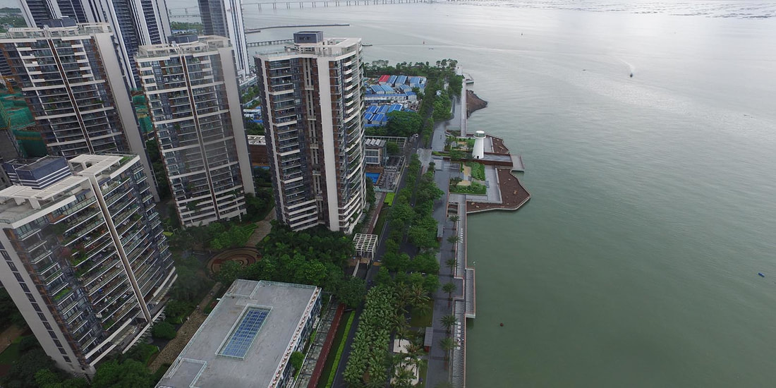
Image: BWPI
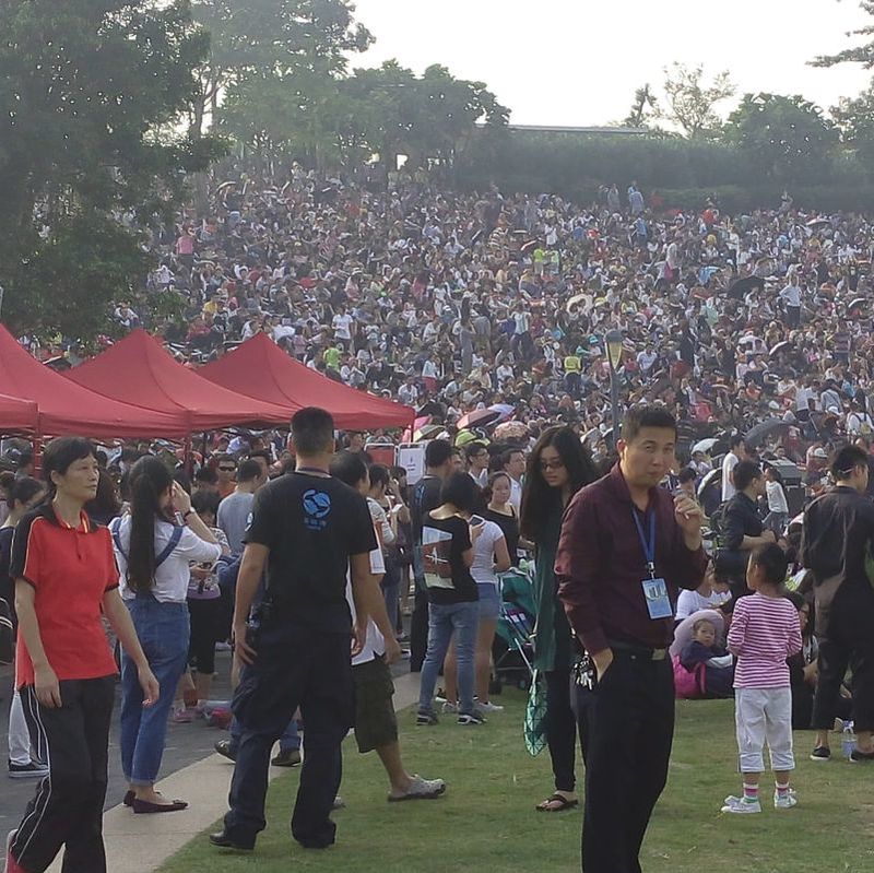
REVIEW TIME
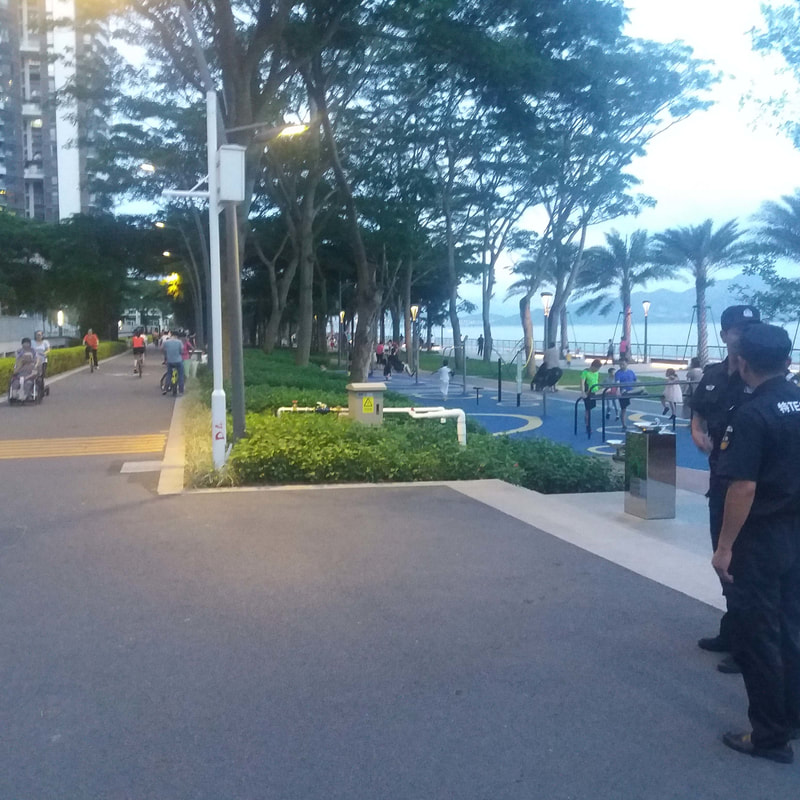
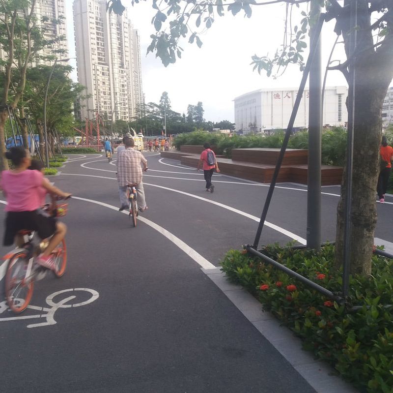
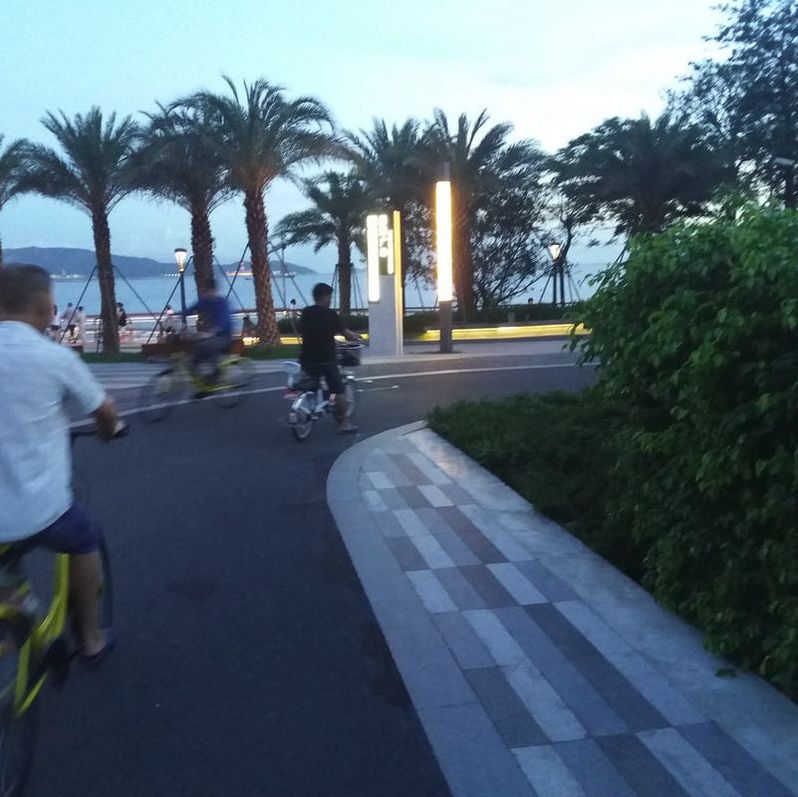
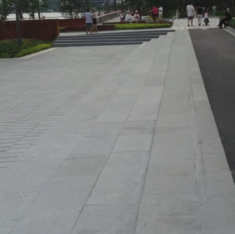
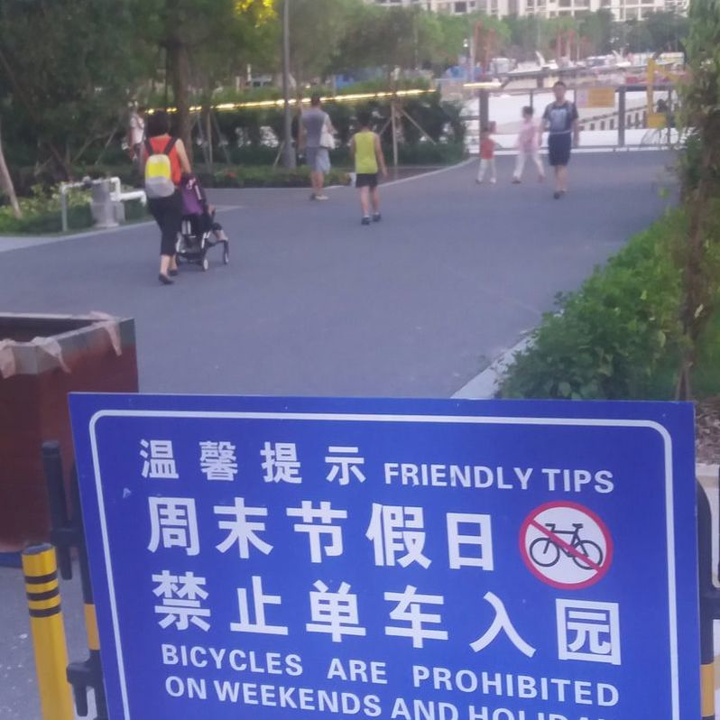
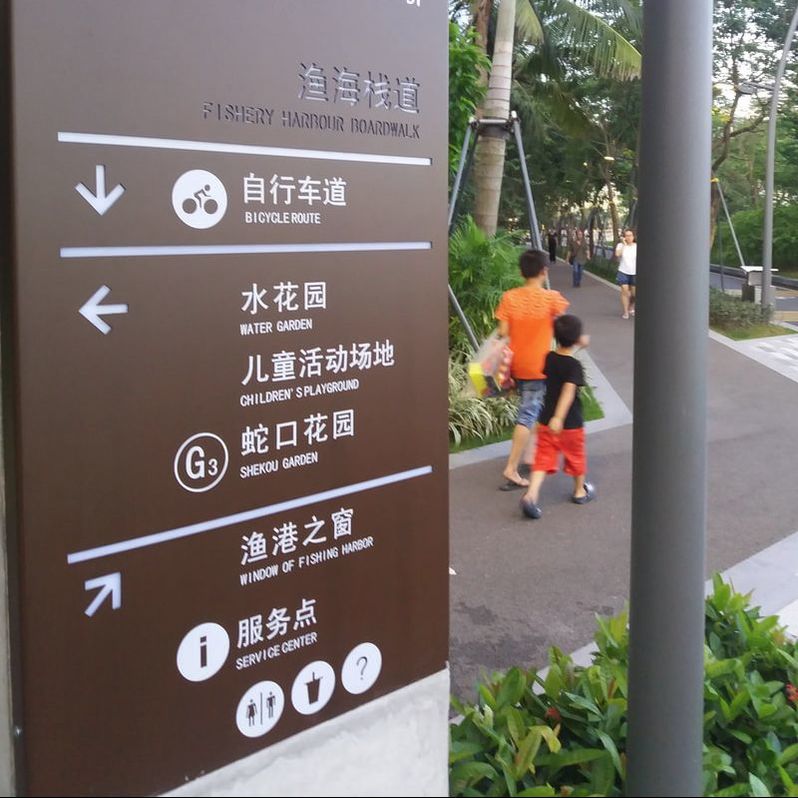
So my daughter asked me what I thought of “our” new park at the bottom of our garden. Everyone said how beautiful it was, but I wanted to somehow assess it for success in urban design terms. Does it really work or is it just another pretty picture? I decided to assess the promenade park based on a few relevant principles: -
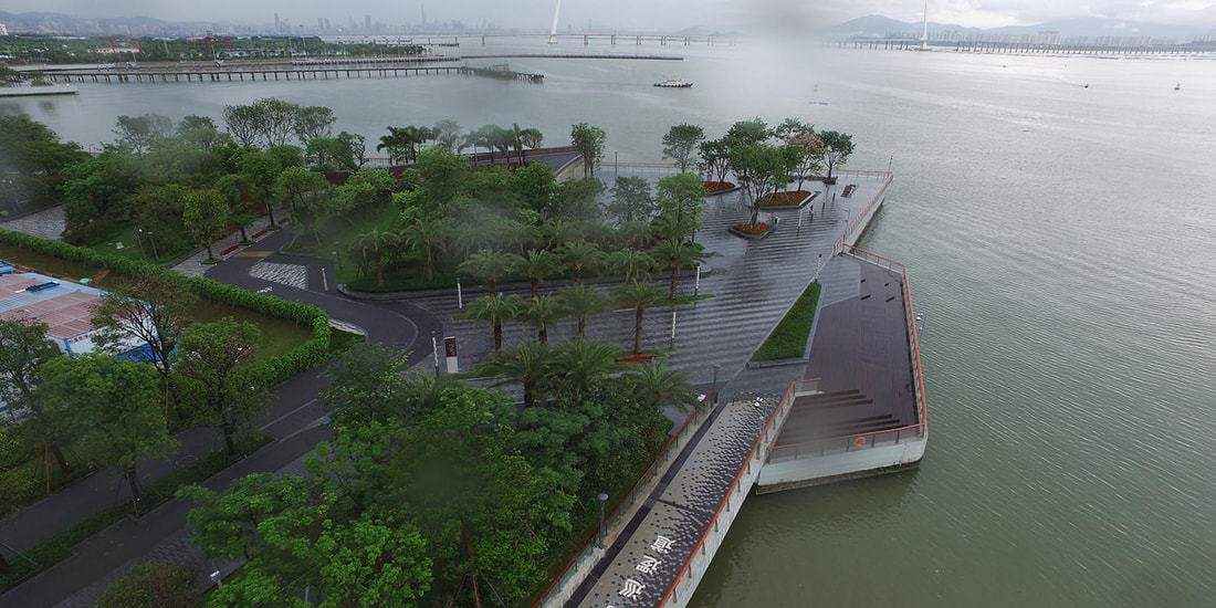
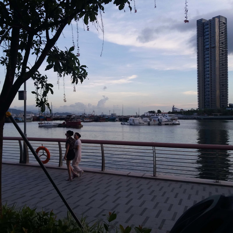
Image: BWPI
A PRETTY PICTURE
Barry Wilson is a Landscape Architect, urbanist and university lecturer. His practice, Barry Wilson Project Initiatives, has been tackling urbanisation issues in Hong Kong and China for over 20 years. (www.initiatives.com.hk).
2017/06/14
10 Simple Ways to Futureproof Our Cities 2017/05/11 Sponge Cities Absorb The Past 2017/04/11 Share And Share Alike 2017/03/08 A Bridge Too Far? 
Wechat
|
|

Services |