Barry Wilson Project Initiatives
  • home
    • BARRY SAYS
    • BARRY SHARES
    • STUDIO EVENTS
    • URBANISATION NEWS
    • JOIN US
    • CONTACT US
  • ABOUT US
  • CAPABILITY
  • PUBLICATION
  • PROJECTS
    • planning
    • environmental
    • public sector
    • corporate
    • residential
  • 中文
Kowloon Renaissance Re-explored
26/07/2017
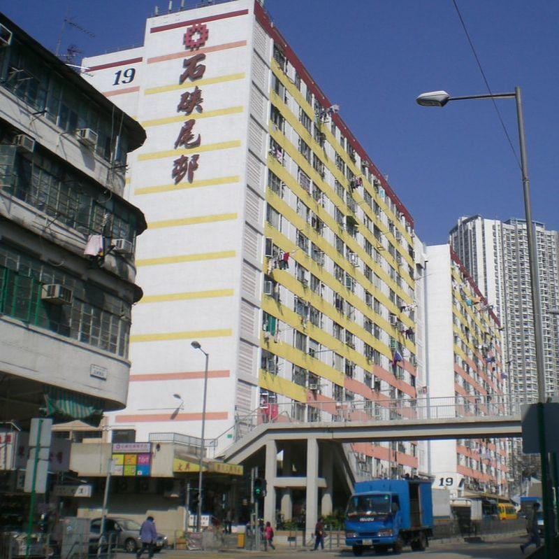
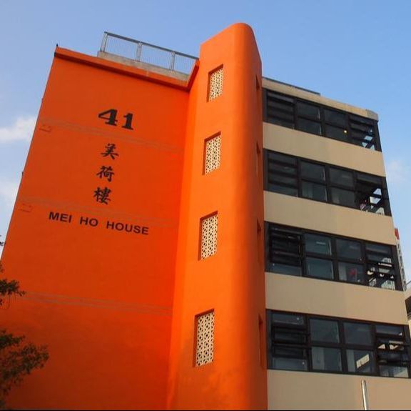
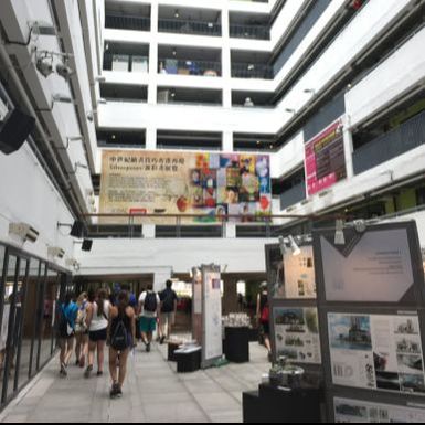
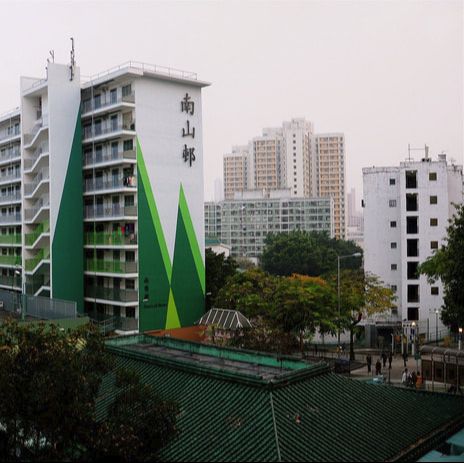
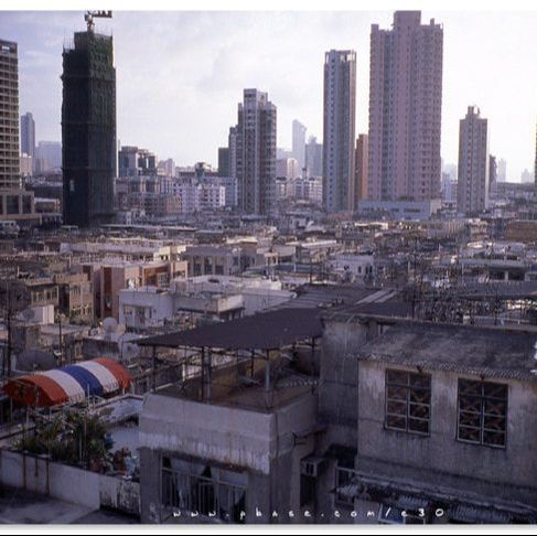
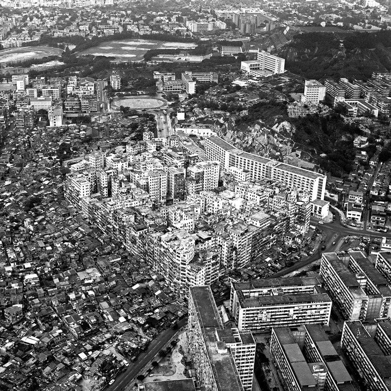
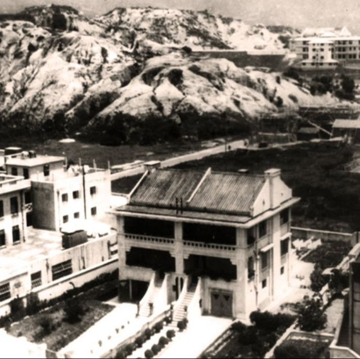
With its highly distinguishable growth mode, Hong Kong has always been a rewarding and enriching experience for visiting Architectural Engineering students of Penn State University to have on summer time. Breaking free from the confines of classroom, Barry Wilson recently exposed those students to real-life examples of Hong Kong's urban renaissance.  ​
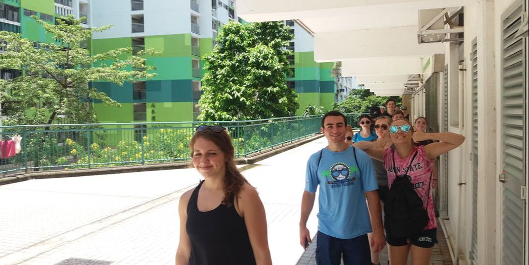
Picture
Image: BWPI
Picture
Shek Kip Mei Estate. (image: BWPI)
​Shek Kip Mei Estate

Located in Sham Shui Po, Shek Kip Mei Estate is the first public housing estate in Hong Kong. It was constructed as a result of a fire in Shek Kip Mei in 1953, to settle the families of inhabitants in the squats over the hill who lost their homes.

Originally constructed in 1953 to alleviate the immediate housing need, it was then redeveloped in 1972, with new towers coming on stream between 1979 and 1982. The estate now under the Hong Kong Housing Authority, consists of 26 blocks, containing 7,363 units/flats of between 11.1 and 55.7 square metres in floor area. The estate has an authorised capacity of 13,900.
Picture
​​Mei Ho House Youth Hostel. (image: booking.com)
​​Mei Ho House Youth Hostel
​

Mei Ho House, formerly part of Shek Kip Mei Estate, Hong Kong, is the last remaining example of a "Mark II" building in a single-block configuration. While the other buildings of the estate dating from the 1950s have been replaced by new ones, Mei Ho House was chosen to be preserved.

After a devastating fire in December 1953 that left thousands homeless, the Colonial government built a 29-block resettlement estate on the site of the burnt-down shanties to house the homeless victims. Eight blocks (Blocks A to H), later renumbered as Blocks 10 through 13 and 35 through to 41, were constructed with the financial aid of the United Nations (Mei Ho House is Block H, later Block 41). These 7-storey blocks were constructed in an 'H' configuration consisting of 2 residential wings, with communal sanitary facilities linking them.

During the Hong Kong 1956 riots, the building was used as one of the bases for the rioters. The building will be tentatively preserved as a record of Hong Kong's public housing development. It was listed as a Grade I historic building in 2005 and as a Grade II historic building in 2010.
Picture
Jockey Club Creative Arts Centre. (image: BWPI)
Jockey Club Creative Arts Centre
​

The Jockey Club Creative Arts Centre (JCCAC) is an art colony and multi-disciplinary artists' centre in Shek Kip Mei, Hong Kong, housed in a converted nine-storey factory estate.

JCCAC was established through the cooperation of the Hong Kong Arts Development Council (HKADC) and the Hong Kong Arts Centre (HKAC) and is now run by the Hong Kong Baptist University (HKBU). It is funded by the Hong Kong Jockey Club Charities Trust and is supported by the Home Affairs Bureau.[3] The JCCAC officially opened on 26 September 2008 as a self-financed registered charity.
Picture
Nam Shan Estate. (image: Flickr)
Nam Shan Estate
​

Nam Shan Estate is a public housing estate in Shek Kip Mei, Hong Kong. It is located at Shek Kip Mei and was formerly called "Kowloon Tsai". It comprises 8 residential blocks built in 1977. The apartments are self-contained units with private kitchen and toilet facilities.
Picture
Kowloon City. (image: MING)
Kowloon City

​Kowloon City is an part of Kowloon City District, vaguely bounded south by Prince Edward Road West and Prince Edward Road East, north with Lo Fu Ngam, east with Kai Tak Nullah and west with Kowloon Tsai. As early as in the Qin Dynasty, Kowloon City was famous for its pearl production. During the Song Dynasty, Kowloon City became a part of Kwun Fu Cheung, which was a part of salt yard governed by Chinese officials.

High-rise apartments started to emerge in this area due to strict building height restrictions imposed in Kowloon City prior to 1998 to minimize the hazards of air traffic. ​
Picture
​The Kowloon Walled City. (image: archdaily)
​The Kowloon Walled City

​
Kowloon Walled City was a largely-ungoverned densely-populated settlement in Kowloon City in Hong Kong. Originally a Chinese military fort, the Walled City became an enclave after the New Territories were leased to Britain by China in 1898. Its population increased dramatically following the Japanese occupation of Hong Kong during World War II. By 1990, the Walled City contained 50,000 residents within its 2.6-hectare (6.4-acre) borders. From the 1950s to the 1970s, it was controlled by local triads and had high rates of prostitution, gambling and drug abuse.

In January 1987, the Hong Kong government announced plans to demolish the Walled City. Demolition began in March 1993 and was completed in April 1994. Kowloon Walled City Park opened in December 1995 and occupies the area of the former Walled City.
Picture
Boundary Street, on the left, in the 1930s. (image: HKU Libraries)
Boundary Street
 
Historically, the Boundary Street marked the boundary between the southern part of Kowloon, ceded by the Qing dynasty to Great Britain in 1860 along with Stonecutters Island, and the northern part of Kowloon (New Kowloon), which remained part of China until it was leased as part of the New Territories to the United Kingdom in 1898 for 99 years under the Second Convention of Peking. After the lease, the boundary was renamed from Boundary Line to Old Frontier Line.
 
Even so, the road did not come to exist until 1934, more than 30 years after the lease of boundary north. The road was built to accelerate the development of Kowloon Tong and identify the difference in calculation of rates between the boundary north and south.
2017/07/20
Education:
PRD Megacity Study Tour

2017/07/18
Education:
Bike Sharing Heritage

2017/07/14
Publication:
South China Morning Post Publishes Article

2017/07/11
Education:
University Study Tour: Adaptive Reuse of Heritage Buildings
Picture